
One tap
Capture the place, not just the moment
A single tap grabs your GPS fix, elevation, accuracy, speed, and heading — then quietly enriches it with the place name, your timezone, and the weather right where you stood.
Offline location journal
After I found my way home, I made
an offline map app.
Free on iPhone GPS works without bars · real GeoJSON
Why it exists
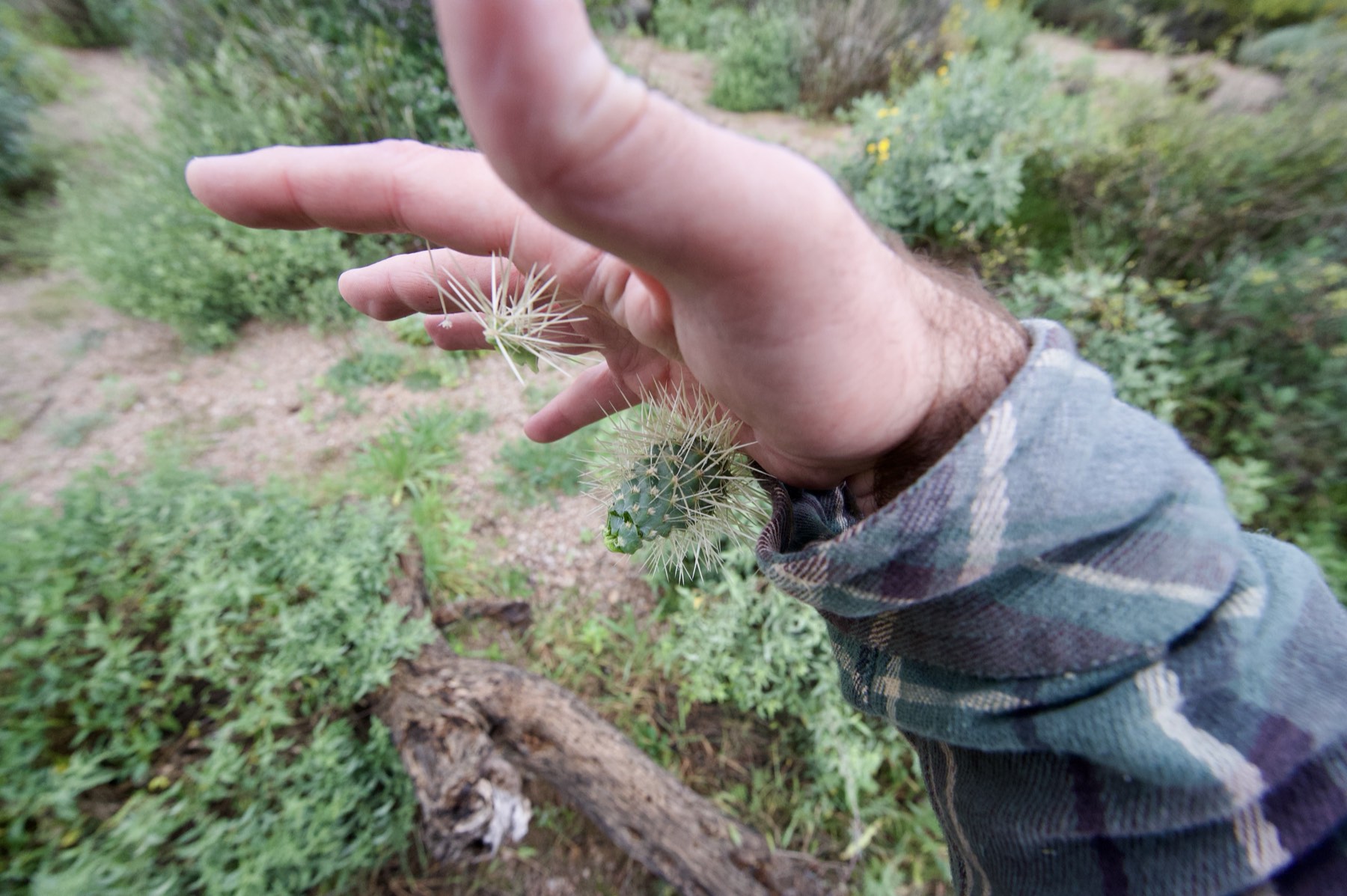
One wrong turn off the trail and the desert all looks the same. Jumping cholla in my hand, zero bars, and Apple Maps and Google Maps — the apps everyone trusts — had nothing for me. I found my way out, then built GeoJSONic for exactly those places: no signal, thin map coverage, ground under your feet that still needs to be captured and kept.
What it is
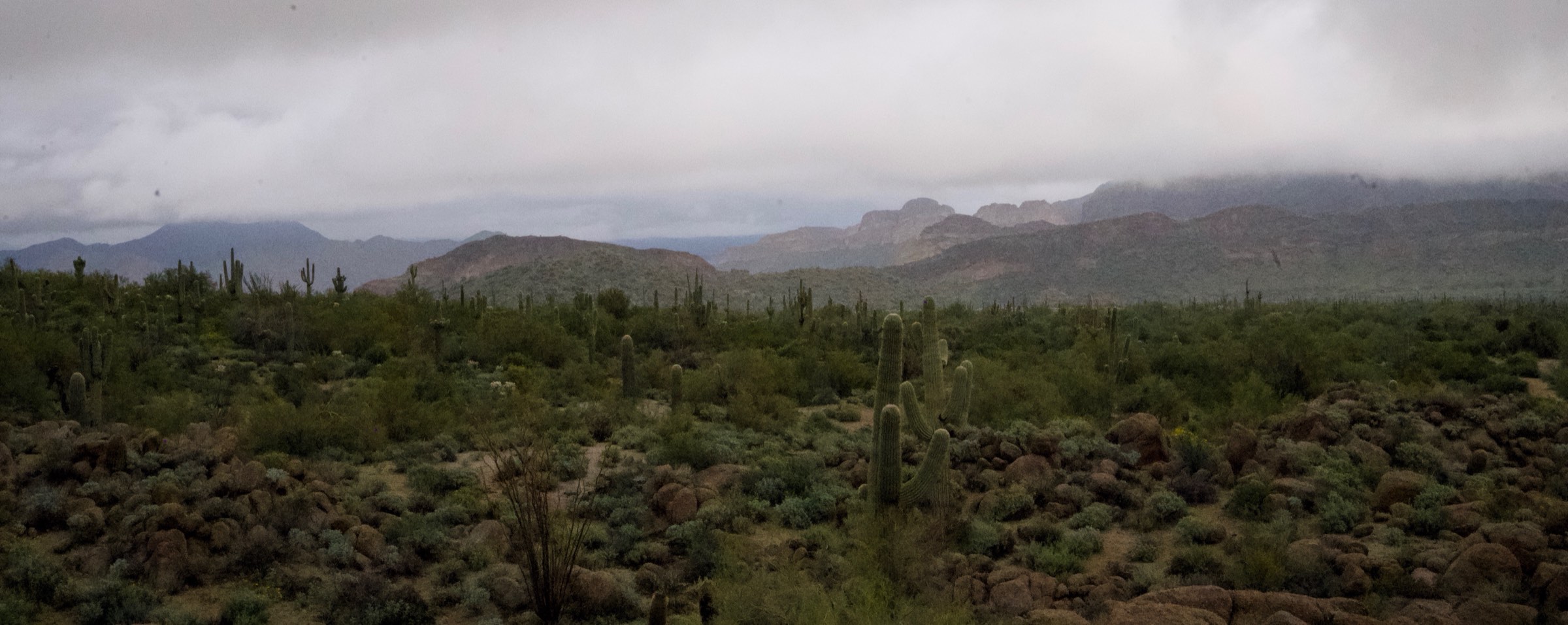
Capture a note with no cell service. GPS still works. The map underneath is Mapbox — often denser trail and rural coverage than Apple Maps or Google Maps in the places that actually matter off-grid.
Every note lives on your phone as real GeoJSON. No account, no cloud. Share a trip by handing someone a PDF — that's the Sneakernet.
The 3D globe is free. Turn-by-turn navigation, virtual rides, offline map downloads, satellite, and field measurement tools are Pro.
The app
GPS doesn't need bars.
How it works
01 · Capture
Capture exactly where you stand — or bring a place in: drop a photo onto the map at the spot it was taken, or share a location straight from Apple Maps into GeoJSONic.
No signal? No problem.
Most journaling apps quietly assume you're online — they stall, spin on a sync, or drop what you wrote the moment the bars disappear. GeoJSONic is built the other way around: capturing a note never needs a connection — your words, GPS fix, and elevation are saved on the spot, anywhere on Earth.
01
Positioning is satellite-based — no cell tower, no Wi-Fi, not a single bar. Your exact coordinates and elevation are captured deep in the backcountry, on a plane, or abroad with data switched off.
02
Every note is written straight to your device the instant you tap. No spinner, no upload queue, no account to log into. Nothing waits on a connection, and nothing can be lost to one.
03
The two online touches — the weather and the place name — fill in when you have signal and quietly sit out when you don't. The note saves cleanly either way.
One tap
A single tap grabs your GPS fix, elevation, accuracy, speed, and heading — then quietly enriches it with the place name, your timezone, and the weather right where you stood.
RFC 7946
Notes are stored as honest GeoJSON Features on disk — not a proprietary blob. Import and export losslessly. Open them in any GIS tool. Your journal is yours to keep.
Write freely
Write in Markdown, file with tags, attach photos, video, and audio. Location is always optional — a note made with GPS off still saves, geometry simply null. Nothing is ever lost.
More than a pin
A point is only the start. Record a route for whatever you're doing — run, walk, hike, bike, drive, or paddle — and your path draws itself as one note. Or map an area — a hunt, a scout, a survey, a round of golf, even mowing the yard — and GeoJSONic traces the perimeter, measures the acreage, and pins photos, audio, and notes exactly where you stood.
01
Walk it and it's captured — a clean GeoJSON LineString or Polygon, carrying the metadata and media that make it a memory, not just a trace.
02
Every line shows its length from GPS — and you can type the real number you measured on the ground, which becomes the one that counts.
03
Export a scout as a clean one-page report — the map, your pins and measured lines, and a QR code back to the work. Built for the field.
Also from me
PortaDrive is on the Mac App Store.
A PDF that behaves like a drive. Drop one on PortaDrive, work with the files in Finder, eject to save. $8, no subscription.
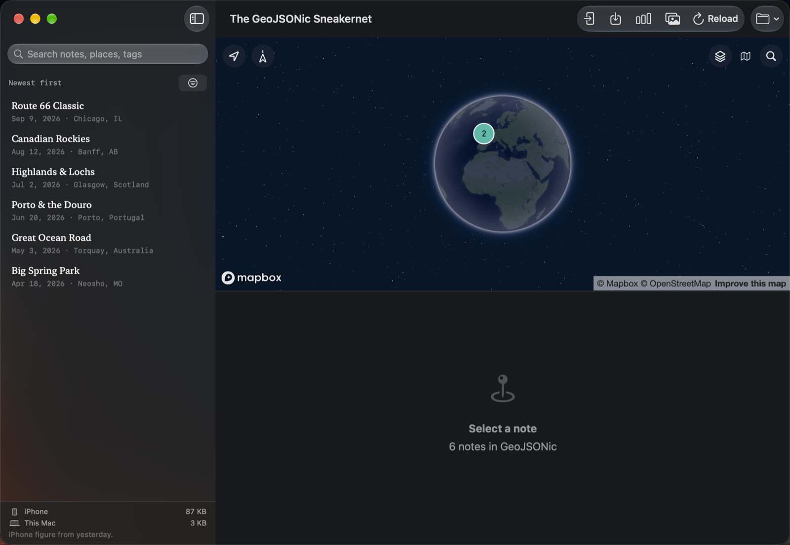
It also opens The GeoJSONic Sneakernet: your journal, on a globe, on your Mac. Pair the iPhone over your own network, or hand the journal over as a PDF.
No lock-in
Not an export. Not an approximation. The file on disk is a GeoJSON
Feature, with your words and the sensor reading of the moment living side
by side in properties. Back up your whole journal as a single .geojson file anytime.
{
  "type": "Feature",
  "geometry": {
    "type": "Point",
    "coordinates": [-94.37191, 36.86915, 312.7]
  },
  "properties": {
    "title": "Big Spring Park",
    "date": "2026-04-18T07:52:11Z",
    "placeName": "Neosho, MO",
    "timeZone": "America/Chicago",
    "weather": { "condition": "Partly Cloudy", "temperatureC": 14.2 },
    "elevation": 312.7,
    "horizontalAccuracy": 4.9,
    "course": 271.0,
    "tags": ["park", "morning", "spring"]
  }
}
02 · Share
A note bundles into a single self-contained PDF — a field report anyone can read, with the GeoJSON and every photo, video, and audio clip embedded inside. Hand it to someone the way you'd hand them anything: AirDrop, a text, an email. They open it in GeoJSONic and your trip drops onto the same globe they keep their own memories on.
New to the word? Read about the Sneakernet →Your memories travel because a person chose to hand them to another person, not because a server decided to show them.
03 · See
The free 3D globe runs on Mapbox — wherever they have coverage, so do you. Open the app and you're already on the map at where you stand. Fly from any note to the exact spot it was written. Every trip becomes a story you follow stop by stop.
Tiles cache as you explore. Pro offline downloads are for guaranteeing the map when you have zero signal — download the area before you go. Pro also adds turn-by-turn navigation, virtual rides through your routes, a satellite basemap, and on-map measurement tools for real field work.
Why no one will copy it
No incumbent can build this. Facebook, Strava, Google — their business models require the backend: the feed, the ads, the lock-in. An offline social network generates zero ad inventory and zero lock-in. Only someone with nothing to protect could build it.
Anyone can build a Sneakernet client. There's only one GeoJSONic.
Field Notes
GeoJSONic 1.4 and PortaDrive 1.1 are on the App Store. The journal copies to your Mac over your own network, and the Mac reads it on a globe.
Read →You don't need to quit your job, buy an RV, or fly halfway around the world to have an adventure. Sometimes you just need a side quest.
Read →I shared a Sunday ride as one PDF and handed that same file to several models, on the web, on an iPhone, and running locally. They could all read it, because I didn't change how a PDF works.
Read →Roadmap
Pricing
Free
$0forever
Full journal, free Mapbox 3D globe, routes, areas, and Sneakernet sharing. Everything stays on your device.
GeoJSONic Pro
$3.99/ month
First month free · or $39 / year
Turn-by-turn navigation, virtual rides, offline areas downloaded before you lose signal, satellite basemap, and measurement tools for real field work.